When I pass hikers on the trail in the High Peaks, they often say to me, “I bet you’ve seen it all.” After 19 years as a forest ranger, I sometimes feel like I have.
One memory that has stayed with me all these years occurred my first summer here. I was hiking out from the Johns Brook Valley, less than a mile past the Adirondack Mountain Club’s Johns Brook Lodge, when I saw two people coming down the trail toward me. From a distance I could tell they weren’t seasoned backpackers: the man was pulling suitcases and the woman was dragging a travel case on rollers. They were in their mid-20s and well dressed. (The woman was wearing boots with high, narrow heels.)
Before I could ask them how they were doing, they said, “Are we almost to the lodge?” They were from “downstate,” they told me, and were on their honeymoon. They had heard of a quaint backcountry lodge that sounded like the perfect romantic getaway. And they had no idea it was a three-and-a-half-mile hike into the wilderness. The weather was good and they were cheerful about their adventure.
Then I gave them the bad news, that Johns Brook Lodge [see page 38] has dorm-style rooms and bunk beds. They were too far in to turn back. I’ve often wondered if they enjoyed their stay and if they are still married.
While some Adirondack misadventures are comical, some are tragic. Forest rangers respond to more than 100 search-and-rescue incidents each year in the Adirondack backcountry. Most of these have happy endings, but every year a handful of incidents result in serious injury or even death. Following are five things you should do before and during any backcountry trip that will enhance your enjoyment of this place and help keep you safe.
1. Do your research at home before arriving at the trailhead. Trailheads in the Adirondack Park are rarely staffed and have limited information at the sign-in kiosk. Check out the Department of Environmental Conservation’s (DEC) website, which has information about trails, facilities and what to expect. Every Friday a current-conditions report for trails and weather is posted on the site.
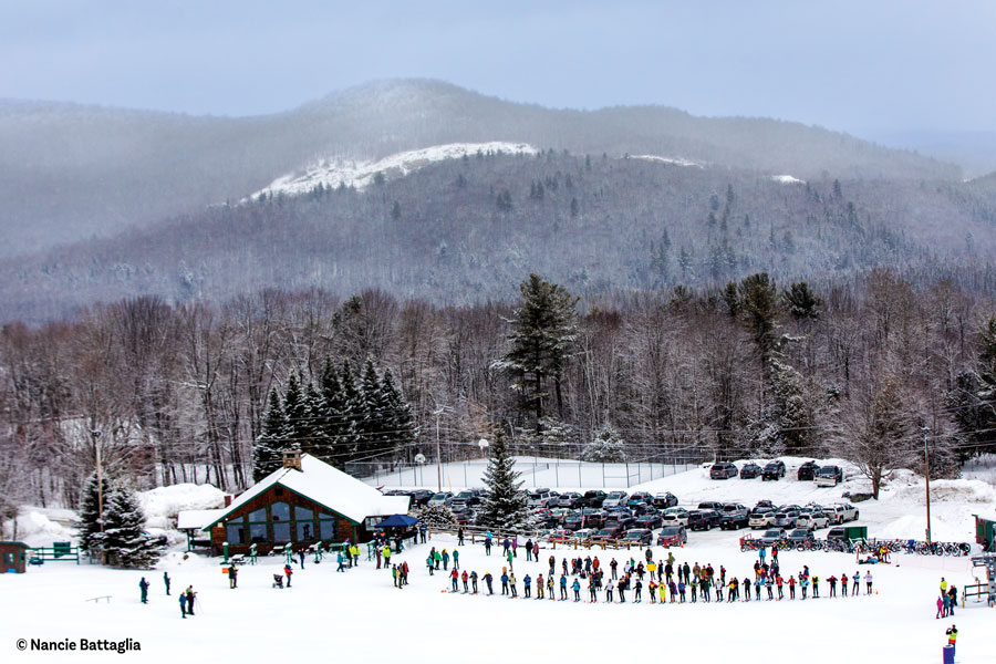
Plan a trip that will match your fitness and experience levels. I often find people late in the day at Mount Marcy’s trailhead, intending to hike to the top but knowing little about the mountain and what it takes to get to the summit. The big group of people coming down Marcy on Saturday evenings in the summer resembles a battered battalion of soldiers limping their way back from combat. Forest rangers have come to call this mass exodus the “pain train.” A day hike of 16 miles round-trip isn’t for everyone. You can expect to be fatigued after a hike, but plan a trip that will be enjoyable and leave you and the rest of your group wanting to come back again.
The Adirondack Park has 85 separate management areas, including Forest Preserve and public easement lands. Some of these have their own unique regulations; it’s your responsibility to be aware of them. For example, in the eastern High Peaks all dogs must be leashed on trails. If your dog does not hike well on a leash but you want to hike with your pet, consider going somewhere else.
Call the local forest ranger for in-formation about the area you wish to visit. All of our phone numbers are available on the DEC website. We are more than happy to discuss your plans and may be able to provide details you won’t find online. We can tell you the easiest spot to ford a brook or which campsite tends to stay muddy longer after a rain. Make that call well before your trip. We are field staff and often work in areas where there is no cell coverage. Leave us a voice or text message and we will call you back.
2. Leave a detailed itinerary with someone who is not going on your trip, who can notify the forest rangers if you don’t return on time. Over the years we’ve received many calls to our dispatch center from concerned loved ones re–porting people overdue, with no more information than “they were in the Adirondacks.” That comment has been followed by, “Can you just turn on the lights for them?” and “Can you call them on the park’s PA system?” No. The Adirondack Park is six million acres. That’s larger than Yosemite, Yellowstone, Glacier, Grand Canyon and the Great Smoky National Parks combined. To initiate a response for someone who is overdue we need more information.
It is not enough to park your car and sign a trail register. While this is a valuable tool for us and signing every register you pass is a requirement in the High Peaks, there are some misconceptions about trail registers. They are not checked daily. Failing to check the “out” box is not going to initiate a search. There is not a forest ranger sweeping the trails at the end of each day, as is done at a ski center. Someone has to report you as missing or injured for a response to be initiated.
A good itinerary should include the name and contact information for each person in the group. Identify specific needs, such as health issues, of members in the party. List the trailhead you are beginning at and your model of car and license-plate number. Include not only the mountain you are hiking but the trails you are taking. A photocopy of a map with a highlighted route is helpful. List the gear each person has, especially colors of outerwear. We will often interview other outdoor users during a search. People remember colors of jackets or types of hats even if they never got your name when they passed you on the trail. Knowing the size and tread pattern of your boot will help us determine if a track was left by you or from someone else. Set a date and time for which the person on the outside will call the forest rangers if you have not made contact with that person.
3. Do not rely on your cell phone! Smart phones are an incredible in–novation, but our reliance on them in the civilized world has led people to mistakenly expect the same constant connectivity in the wilderness. Even if you have cell coverage during your backcountry stay, don’t expect a ranger to arrive instantly if you call.
The misconception that help is but a call away is what we call the “McRescue.” You place your order and drive to the window to collect it. It doesn’t work that way in the backcountry. Think about how long it took you to get where you are. We have to get there too. Have the gear necessary to keep yourself safe until we arrive.
I have also seen cell phones used in the backcountry for two essential functions: navigation and illumination. A phone should never be your only method for doing either. GPS has revolutionized backcountry travel, but there are times when it can fail you. Devices rely on electricity to operate, and cloud cover can occasionally interfere with satellite signals. I have also participated in searches for people who got lost after following the “trail” on their screen instead of where the actual markers and trail were.
An appalling trend on the rise is hikers taking a photo of a map at the kiosk and then proceeding with their trip, navigating only with that photo. A topographic map has so much in-formation on it that can’t possibly be discerned on a two-by-two-inch screen. The most common mistake I have witnessed from this is the hikers’ inability to understand the scale when they look at their picture of the map. In one case, the hikers knew they wanted to take a left at the first trail junction and when they came to one, just a few hundred feet down the trail, they took it. Unfortunately the actual trail junction where they were supposed to turn left was a full mile ahead. That wrong turn led to many subsequent wrong turns and eventually resulted in a 911 call seeking help as the hikers watched their cell phone battery slip below 10 percent.
There is no substitute for carrying a paper map and a compass and knowing how to use them. They will always work. The odds that the magnetic poles will move while you are on your trip are pretty unlikely. That said, carry a second compass with you in case you break one, lose it or lose confidence in it. I was once so disoriented I got out my second compass to compare the two. The compass “in my head” kept saying one direction that didn’t match the Silva in my hand. I quickly found the compass in my hand was correct and my instincts had been fooled by thick vegetation, whiteout conditions and an inability to see any landmarks.
There are also apps on cell phones that can turn them into flashlights. I’ve seen people holding a cell phone close to the ground to find their way with the screen light. I recommend the use of a head lamp, as it keeps your hands free. Failure to have an adequate light to follow a trail in the dark is our most frequent call for assistance in summer.
4. Water is everywhere and you need to be prepared to drink it. The Adirondacks is not known as a particularly hot environment, but summer temperatures can approach 90 degrees. Heat, coupled with high humidity and physical exertion, can lead to health problems requiring immediate attention.
What the Adirondacks is known for is water, yet I find many backcountry users unprepared to utilize this plentiful resource. Last summer I was sent to aid a hiker at Indian Falls who claimed to be severely dehydrated, to the point of cramps and vomiting. Indian Falls is a waterfall—a majestic brook cascading off Mount Marcy that’s easily accessible for a hiker to dip a water bottle into. This hiker had no method for treating the water and was afraid to drink it. A couple decades ago we had a person lost for days without water, so terrified to drink the poison flowing off the mountain that he resorted to drinking his own urine to hydrate.
Physical ailments from drinking un–treated water are a legitimate concern, but I urge you not to drink your urine. I am not advocating drinking untreated water either, but instead that you carry a method to treat it. There are many ways to purify water in the backcountry through chemical, ultraviolet, temperature and filter treatments.
Carrying more water than is necessary is another common mistake. Why carry five gallons with you when your hike follows a brook the entire trip?
5. Dress for success. Educating the public on the dangers of wearing cotton clothing was a life’s mission for one of my predecessors, Pete Fish. He believed that if he didn’t speak with someone poorly dressed or ill-prepared in the parking lot, pre-hike, that would be the person he would be called to rescue that night. He’d tell them, “All of my best-dressed corpses wear cotton.” There’s not a person who received a clothing lecture from forest ranger Fish who didn’t remember it.
While these days hikers tend to be better dressed in wicking, synthetic clothing, on occasion I still see hikers in tight blue jeans and cotton T-shirts. You might as well wear a sponge. While cotton increases the potential for hypothermia, it’s also uncomfortable, as these garments trap moisture close to your skin. Wear loose fitting, breathable clothing.
I once had to carry an eight-year-old boy on my back for two miles because he was wearing tight jeans that chafed his legs so badly he was in too much pain to walk, each step like sandpaper being pulled across his thighs. The poor clothing choice had caused an injury and ruined his experience.
The Adirondack Park is, perhaps, the most accessible public land in the world. There are no gates or fees to access a hike and it never closes. I hope you enjoy the majesty and wonder of this extraordinary place.
Learn more about Adirondack regulations and safety by visiting the Department of Environmental Conservation’s website, www.dec.ny.gov.